How Japan's Satellites Aid Disaster Response
http://www.gov-online.go.jp/eng/publicity/book/hlj/html/201503/201503_06_en.html
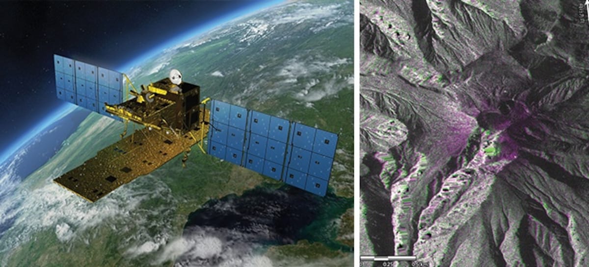
The top priority at the time of a natural disaster is gaining an accurate understanding of the damage. When the Great East Japan Earthquake hit in March 2011, for example, Japan's DAICHI satellite instantaneously took images of disaster areas and then sent them down. Personnel then used the images to immediately determine which areas the tsunami had flooded, and to what degree, as well as which expanses of the sea were choked with debris and how badly. The images helped enable swift responses by relief and restoration personnel and prevented secondary disasters.
Reconstruction after a great disaster can take months and even years, and satellites can also check areas at fixed intervals and give officials a better grasp of how the recovery effort is progressing, which aids in more focused planning.