Different Elevations: From Sea to Mountain
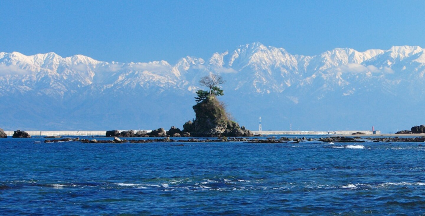
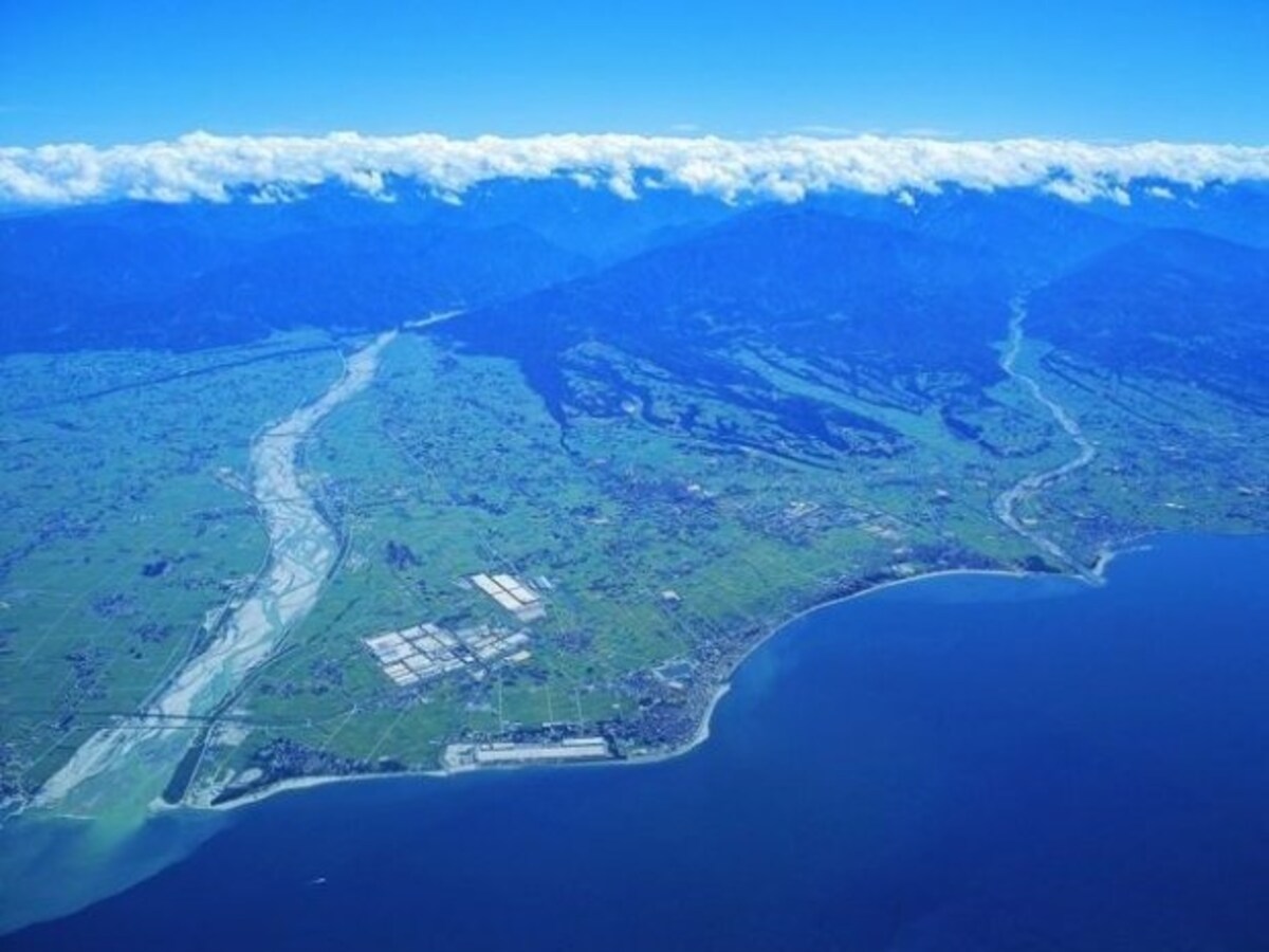
Japan’s Northern Alps soar high above, creating a wonderful backdrop to Toyama Bay. The bay is large, and sparkles in shades of blue befitting its location in this part of the Sea of Japan. It is defined by the Noto Peninsula jutting far out into the sea.
By AAJ Editorial TeamActually, Toyama Bay is one of Japan's three deepest bays, along with two on the Pacific Ocean side, Suruga Bay and Sagami Bay.
Toyama Bay's scenery is majestic, better than a picture postcard. Its beauty is complemented by its reputation as one of Japan's best fishing grounds, and here’s why: At the bottom of Toyama Bay is a layer of cold, clean water. The warm Tsushima Current flows above that cold layer. And there is a third layer, too—rivers that include meltwaters from snow on the Tateyama Mountain Range flow into the bay, bringing with them nutrients from the soil. This water mixes with the coastal water and reduces its salt content. Each of these three layers or zones creates its own marine habitat and attracts different kinds of marine life.
https://thewonder500.com/product/different-elevations-taste-the-finest-foods-produced-by-the-different-elevations-of-sea-and-mountain/?lang=en
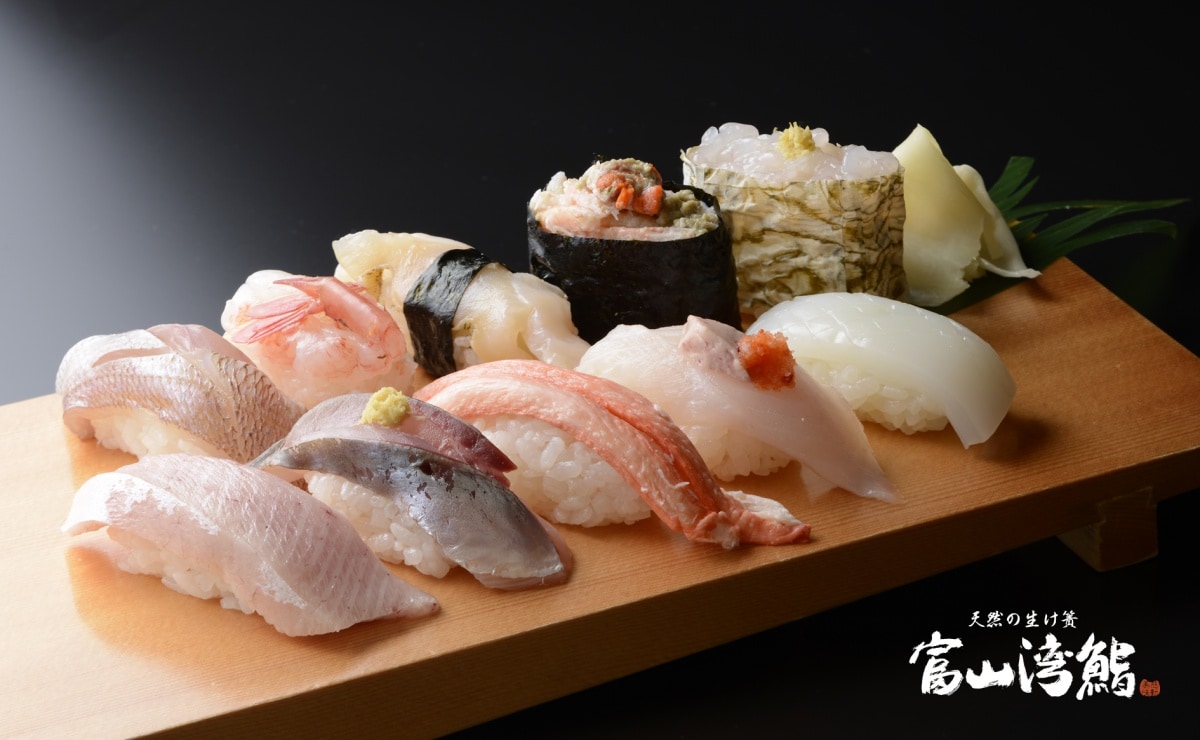
In addition to this unique marine environment, there is a difference of about 4,000 meters (2.5 miles) between the top of the Tateyama Mountain Range and the bottom of the bay, which is one of Japan's deepest. The lay of the land and sea bottom, and the tremendous difference in elevation between the two have created a sort of massive fish pond that invites many fishing boats. The catch is quickly served to talented chefs to become super-fresh sushi and a splendid feast for the eyes and palate.
Come to enjoy the luxury of excellent dining amid beautiful valleys and a fine selection of hot springs. Toyama is ready to charm you with special moments and truly memorable experiences.
The Amaharashi Coast
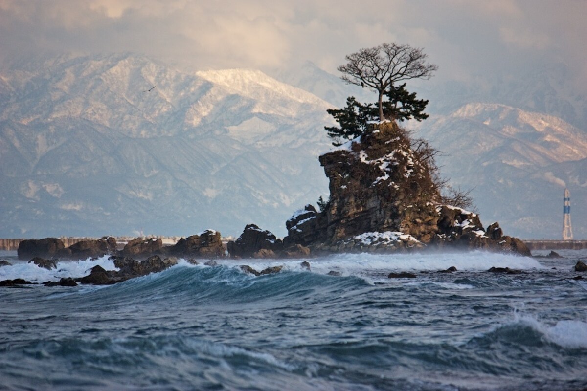
The Amaharashi Coast is located in the northern part of the city of Takaoka. Its claim to fame is its shallow waters that extend quite far into the Sea of Japan, and the view on a clear day of the Tateyama Mountain Range soaring to heights of around 3,000 meters (9,842 ft) over the bay. Little wonder that the area, which includes the Noto Peninsula Quasi-National Park, is famous for its scenery. The Amaharashi Coast is included among the 100 Best Beaches in Japan.
Tateyama Murodo
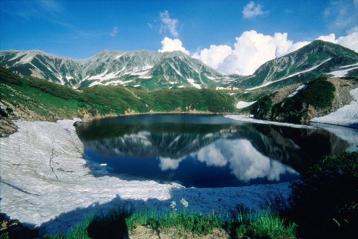
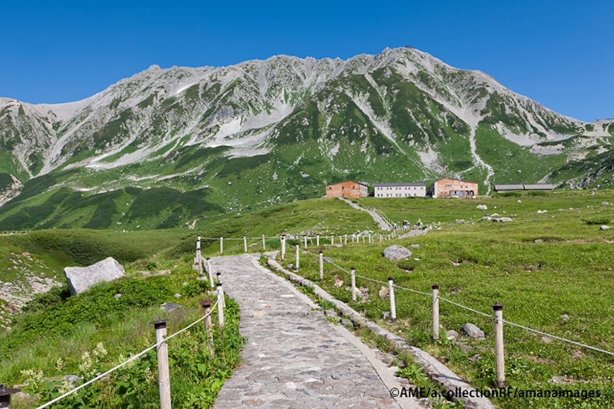
Tateyama Murodo is located 2,450 meters (8,038 ft) above sea level. It lies about halfway along the Tateyama Kurobe Alpine Route, and is a great spot for travelers to take a break.
Soaring above are mountains more than about 3,000 meters (9,842 ft) high. They include Mount Tsurugi-dake and the three Tateyama Sanzan peak. Nearby are other proofs of the power of nature: crystalline rock structures formed by volcanic activity and Mikurigaike Lake.
The transportation infrastructure for this mountainous area is well developed: trains, buses, and a cable car and ropeway system are all close at hand, ready to help you experience the great outdoors. The steep valleys lie waiting to be admired, along with natural wonders like ptarmigan birds (designated a Special National Treasure), and highly unusual plants that have special significance. The forests are a palette of various greens in spring and summer, changing to brilliant colors in the fall. Each season brings its own expression to the mountains, providing yet another reason to visit.
Toyama Bay Sushi
With a depth exceeding 1,000 meters (3,281 ft), the waters of Toyama Bay are home to a versatile array of fish, making it the treasure chest of the ocean. The fishing grounds are very close to the port, making it possible to provide the absolute freshest fish possible. The delectable Toyama Bay Sushi is the product of local fish caught in these natural fish preserves and locally-grown rice. Learning about what kinds of seasonal fish are available for sushi is all part of the fun.


