See Kyoto Mapped as it Once Was
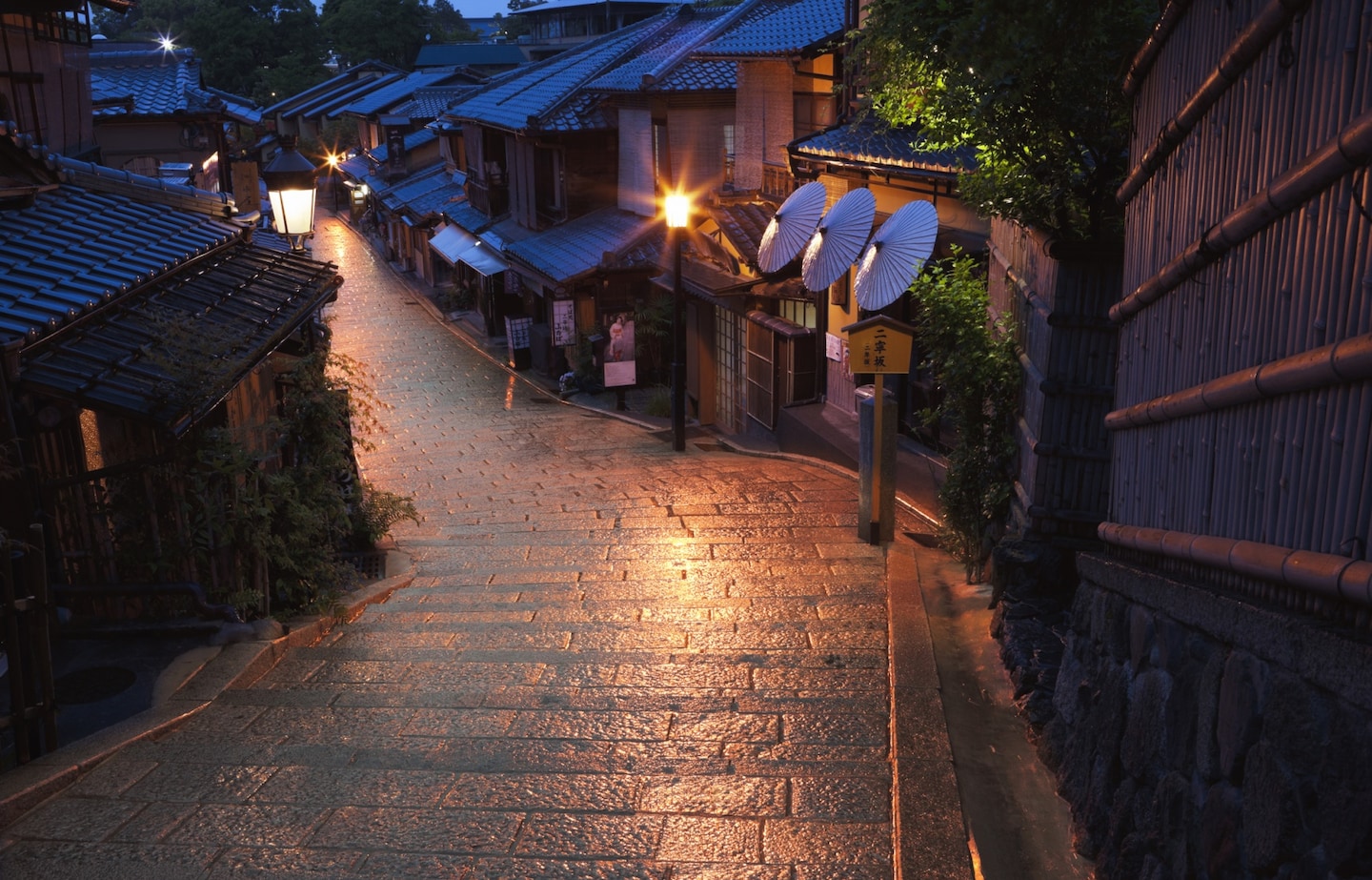
With all apologies to Nara, nowhere in Japan can match Kyoto’s reverent connection to its history. The city served as the seat of imperial power for centuries, most gloriously during the Heian Period (794-1185).
By SoraNews24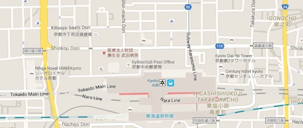
http://en.rocketnews24.com/2016/01/08/interactive-online-map-of-kyoto-lets-you-toggle-between-modern-day-and-the-9th-century/
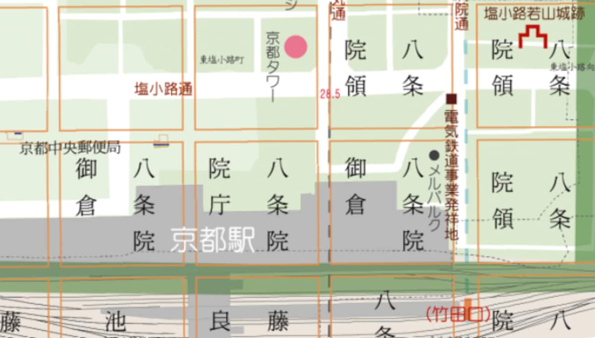
Walking along the city’s streets can sometimes feel like taking a trip into the past. And if that’s where you’re going, you’ll want a period-accurate map, like the interactive one developed by Kyoto’s Ritsumeikan University. Called the Heiankyo Overlay Map, the clever navigational tool works with Google Maps’ data for the city. For example, above you can see the area directly north of modern-day Kyoto Station.
http://en.rocketnews24.com/2016/01/08/interactive-online-map-of-kyoto-lets-you-toggle-between-modern-day-and-the-9th-century/
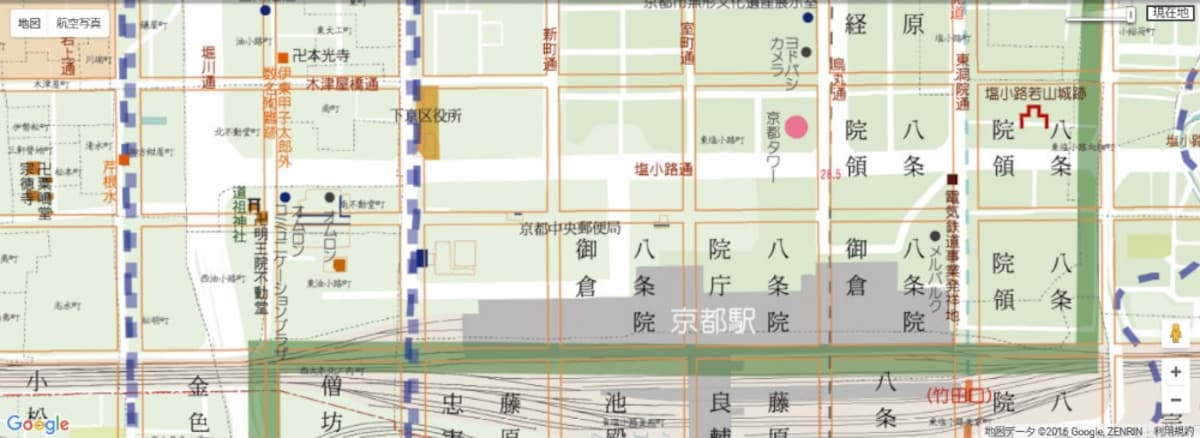
But by dragging the slider at the top right corner of the map, you can place or remove an overlay of what the corresponding area looked like in the Heian Period.
http://en.rocketnews24.com/2016/01/08/interactive-online-map-of-kyoto-lets-you-toggle-between-modern-day-and-the-9th-century/
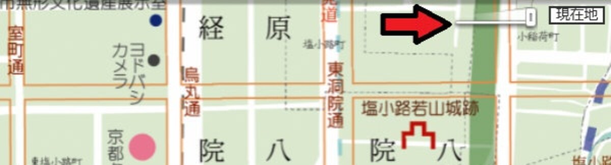
The slider is indicated by the red arrow.
http://en.rocketnews24.com/2016/01/08/interactive-online-map-of-kyoto-lets-you-toggle-between-modern-day-and-the-9th-century/
Now hundreds of years in the past, we can see that before the Kyoto Station area was filled with tourists and commuters, it was a gathering point for the religious faithful, as indicated by the large numbers of temples (which bear the kanji 院 [in] on the map).